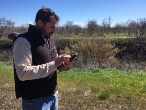
Sonoma Ecology Center’s Alex McDonald field checking Arundo donax in Stanislaus County. Photo: Dana Morawitz
CalWeedMapper shows landscape-level distribution of invasive plants and suggests management priorities by region. Data come from Calflora, the Consortium of California Herbaria, iNaturalist, and expert knowledge collected across the state, organized by 7.5-minute USGS quads.
Priorities suggested include eradication targets (plants that are rare in the region), containment targets (plants that are more widespread), and surveillance targets (plants not in the region but found nearby).
Some plants have maps showing the plant’s full climatic range, including projected future range as climate shifts. Background layers include biological richness, protected areas, habitat connectivity, and tree mortality.
CalWeedMapper is used to set priorities for regional partnerships across the state.
If you want to work with CalWeedMapper’s quad data in your own GIS you can download a shapefile.